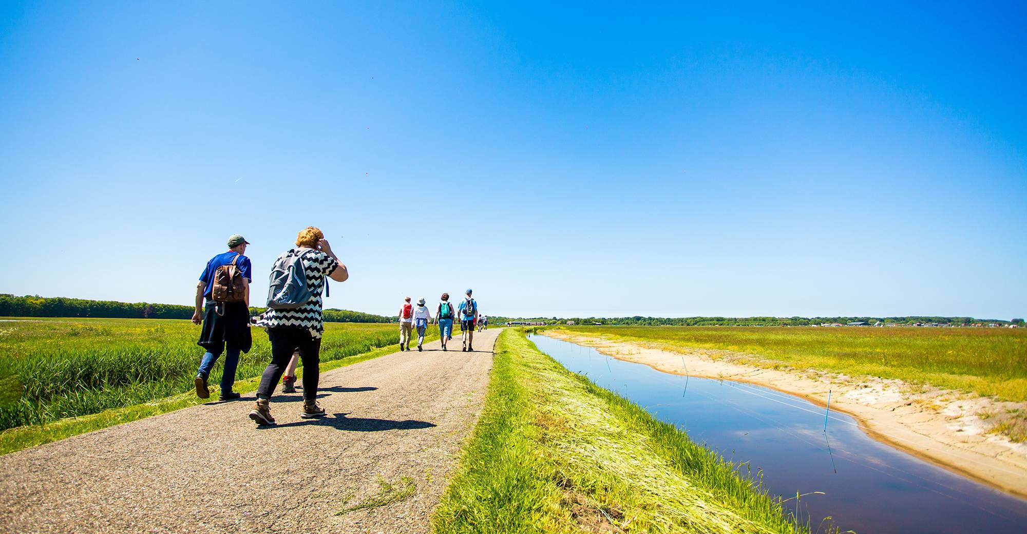
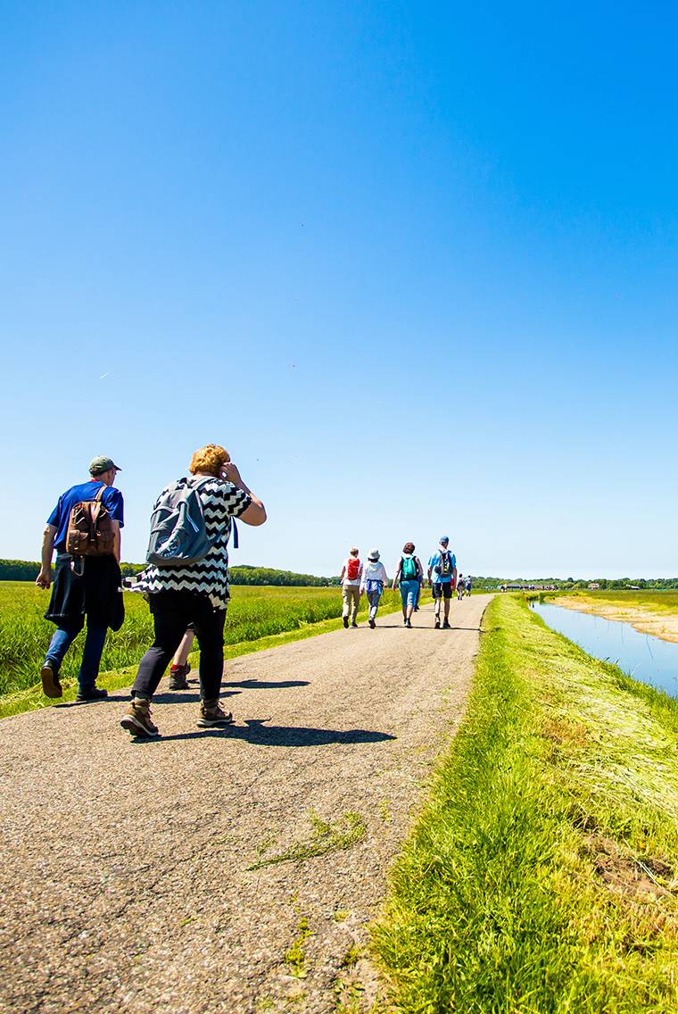
De Oer-IJ Expeditie neemt jou mee op een echte ontdekkingswandeltocht door een verborgen landschap, dat zich laat lezen als een spannend geschiedenisboek.
De Oer-IJ Expeditie neemt jou mee op een echte ontdekkingswandeltocht door een verborgen landschap, dat zich laat lezen als een spannend geschiedenisboek.
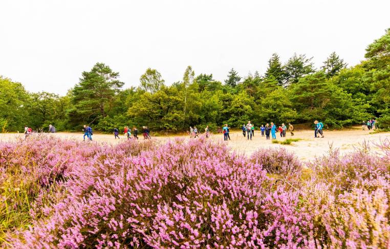
Kies uit een van de 5 routes en ga met ons mee op ontdekkingstocht door een verborgen landschap. De routes van 10, 17, 23, 26 en 32 km laten jou alle parels van het Oer-IJ gebied zien.
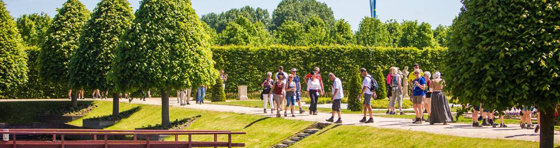
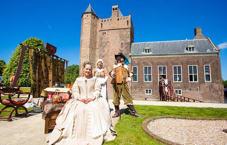
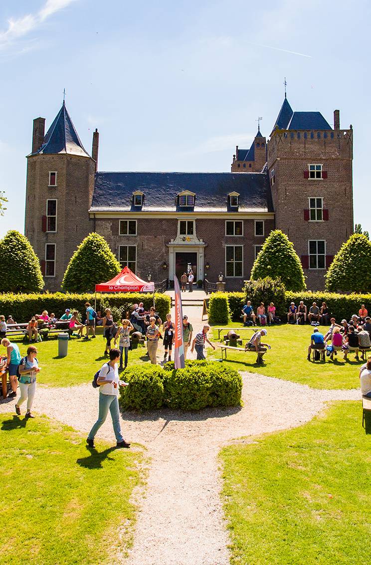
Le Champion is een van de grootste sportverenigingen van Nederland met 20.000 leden en jaarlijks 250.000 deelnemers. Bekijk hieronder een greep uit het ruime aanbod aan evenementen.
Le Champion is een van de grootste sportverenigingen van Nederland met 20.000 leden en jaarlijks 250.000 deelnemers. Bekijk hieronder een greep uit het ruime aanbod aan evenementen.